Predictive Modeling/Spatial Planning, NY Bight
CSS designed and implemented this integrated data acquisition, data management, and statistical predictive modeling to select optimal wind farm locations while minimally impacting seabirds.
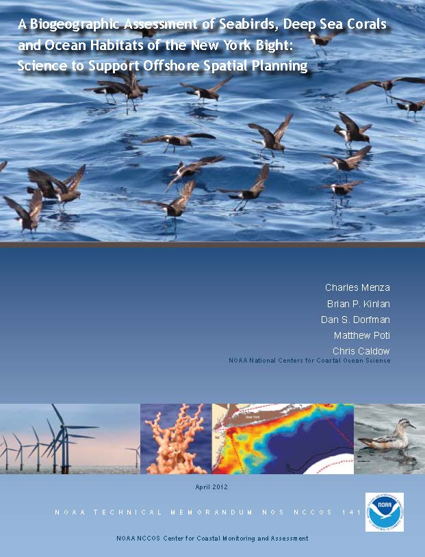
Predictive Modeling/Spatial Planning, NY Bight.
CSS designed and implemented this integrated data acquisition, data management, and statistical predictive modeling to assess the technical feasibility of selecting optimal locations for placing wind farms while minimizing impacts to seabirds. We developed regional ecosystem maps delineating seabird species occurrence and abundance, integrating NOAA’s oceanic and atmospheric observational data. We coordinated this effort with NOAA partners including BOEM, USGS, USFWS, DOE; state, regional, industry, and academic groups; and NGOs. This project received the NOAA Bronze Medal
Additional Projects
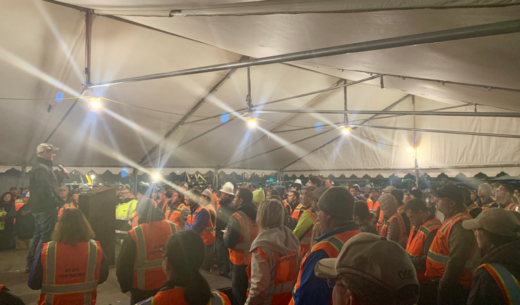
Analytical Support for the Drinking Water Emergency in Hawaii
In response to the Red Hill Drinking Water Emergency, CSS staff mobilized on Christmas Day to set up mobile laboratory assets to analyze drinking water samples and confirm that the drinking water in residential homes was safe for human consumption.
Predictive Modeling and the HABTracker
CSS scientists helped develop HABTracker, a HAB Forecast system.
Analysis for Coastal Operational Resiliency
CSS assisted with planning and executing a demonstration of three decontamination technologies on a USCG vessel contaminated with a benign surrogate for anthrax.
Service Areas
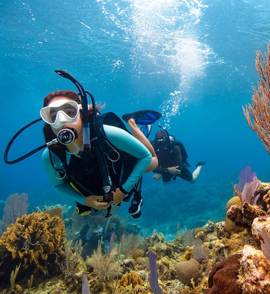
Environmental Resource Assessment & Management
We apply science to address challenges affecting the nation’s natural resources.
Emergency Preparedness & Response
We help our clients prepare for and protect the health and environment of communities after disasters and hazmat releases.

Space Science Application Support & Operations
We deliver scientific support to advance our clients’ research goals.

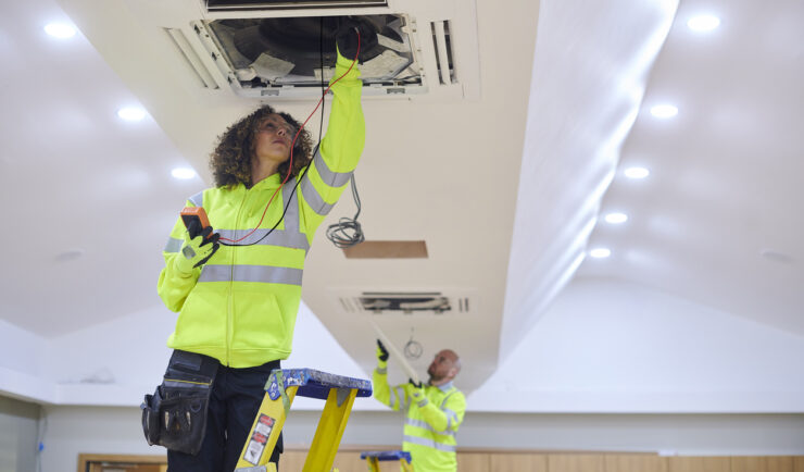
Facilities Operations & Maintenance
We understand your facility support needs and deliver customized solutions.

Human Health Risk Assessment
We help advance the understanding of chemical effects on people and the environment.

Satellite Science & Environmental Intelligence
Helping create a more environmentally sustainable, weather-ready, and secure nation through application of earth observation data
Get in touch
Contact us to learn more about our projects, capabilities, solutions, and service offerings.