
- CSS News, Success Stories
- Emergency Preparedness & Response
Emergency Response Support for the Republican National Convention
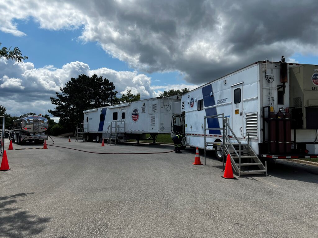
CSS employee owners on contract with the U.S. Environmental Protection Agency’s Portable High-throughput Integrated Laboratory Identification System — a mobile analytical unit known as PHILIS — provided emergency response support for the 2024 Republican National Convention. PHILIS mobile laboratory units are designed to provide onsite analysis of environmental conditions, including air and soil samples, contaminated with chemicals. While the convention was held in Milwaukee, Wisconsin, the team was stationed on stand-by in a nearby location in Illinois to provide emergency response for the event of around 50,000 individuals.
The PHILIS team was prepared to support analysis of
- Volatile organic compounds for liquid, solid and air matrices by gas chromatography-mass spectrometry (GCMS)Semi-volatile organic compounds analysis for liquid and solid by GCMS
- Opioids for liquid, solid and wipe matrices by GCMS-Large Volume Injections (LVI)
- Chemical agent for liquids, solid and wipe matrices by GCMS-LVI
- Various forms of organophosphate nerve agent and venomous agent X for liquid, solid and wipe matrices by ultra performance liquid chromatography mass spectrometry (UPLCMSMS)
- Opioids for liquid, solid and wipe matrices by UPLCMSMS
Throughout the deployment, the team received many visitors, several of them from Hazardous Waste Operations and Emergency Response (HAZWOPER) training and exercise and some on scene coordinators from Region 5. The team analyzed a handful of ‘mock’ air samples at the RNC, which could be characterized as an informal exercise.


See More CSS Insights
Engaging in New and Emergent Satellite Technologies
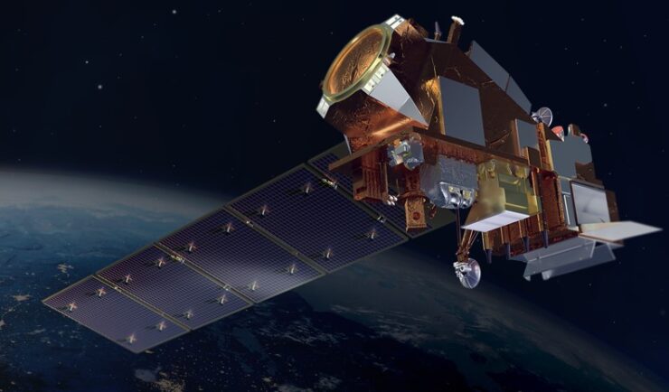
CSS employee owners (formerly Riverside employees) support the National Oceanic and Atmospheric Administration’s (NOAA) National Environmental Satellite, Data, and Information Service’s (NESDIS) Center for Satellite Applications and Research (STAR). STAR is the science arm of NESDIS, which acquires and manages the nation’s environmental satellites for NOAA. Satellite observations are critical to informing situational awareness and…
Assisting South Carolina Marine Mammal Stranding Network
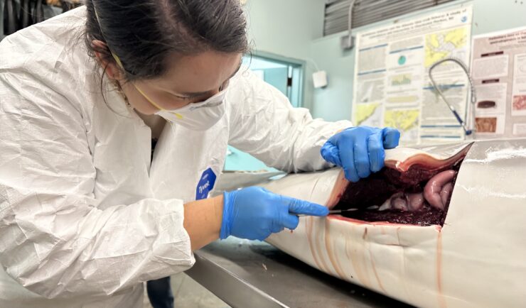
CSS employee owner and Marine Mammal Microplastic Specialist supporting NOAA’s National Centers for Coastal Ocean Science assists the South Carolina Marine Mammal Stranding Network in responding to dead marine mammals when they strand on beaches or estuaries throughout South Carolina. This is work is critical for human and environmental health because it provides invaluable samples…
Developing a Stream Assessment Protocol
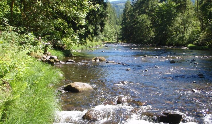
CSS has been a significant contributor to the development and implementation of the Oregon Stream Function Assessment Method (SFAM) for more than 10 years. SFAM is a key component of the Oregon Stream Mitigation Program administered by the Oregon Department of State Lands. The mitigation program is designed to address damage to aquatic resources caused…