All Insights
High Resolution Land Cover Maps Now Available
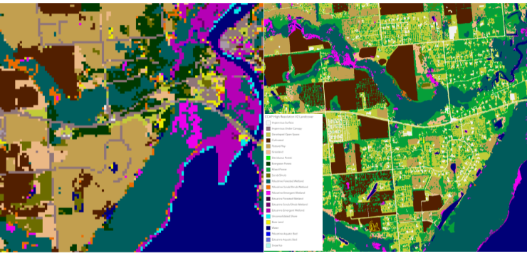
NOAA’s Office for Coastal Management has released higher resolution land cover maps for Alabama, Mississippi, Northeast Ohio, Rhode Island, and the Puget Sound in Washington. These 1 meter data—previously only available in 30 meter—provide more detail communities need to map and understand their landscapes and features, including tree canopy, wetlands, impervious surface and several other categories. This additional detail will help inform decisions regarding stormwater management, flood mitigation, wetland restoration, and more. CSS employee owners—subcontracted through Lynker Technologies—contributed to the release of this…

Assisting Career Growth for Future Coastal Managers
NOAA’s Margaret A. Davidson Fellowship is a two-year fellowship for graduate students that provides an opportunity for them to work side by side with researchers at one of the 30 National Estuarine Research Reserves. The fellowship provides each cohort of fellows with hands-on and cross-disciplinary research experiences, networking opportunities, and professional development and mentoring, helping to prepare them…
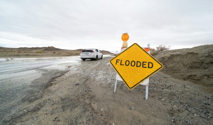
Strengthening Risk Communications Training Support to Clients
A CSS employee owner supporting NOAA’s Office for Coastal Management (sub-contracted through Lynker Technologies) has been working closely with colleagues to develop, improve, and deliver trainings related to risk communication. The CSS trainer delivered their first training of Building Risk Communications Skills in Rhode Island to an audience of over 30 coastal managers, planners, practitioners, and a U.S. Representative. The training was well received and will help participants develop new…

CSS Employee Owners Receive NOAA Award
NOAA’s National Environmental Satellite and Data Information Service (NESDIS) recognizes the National Centers for Environmental Information Cloud Archive Team with 2026 NESDIS Outstanding Information Technology and Engineering Team Award! This award recognizes the team’s efforts to develop and deploy the Open Information Stewardship System (OISS) and create a large language model (L-OISS) that automates the generation and testing of complex archive workflows. CSS Employee Owners…

CSS Employee Owner Receives National Institutes of Health Award
Congratulations to CSS Employee Owner Hannah Mazurek on receiving a Core Values Award for her support to the National Institutes of Health (NIH) Office of Research and Services. The NIH recognizes Hannah “for her advocacy for use of the Lab Archives chemical inventory system, thus strengthening chemical safety and compliance.” The Core Values Award at the NIH Office…
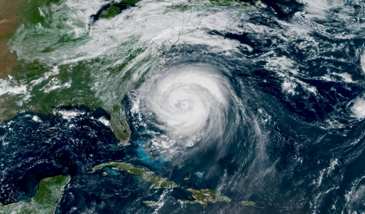
Supporting the Launch of NOAA Data to Inform More Resilient Infrastructure Designs and Structures
Congratulations to NOAA for launching their new Typical Meteorological Year product, developed by the National Centers for Environmental Information (NCEI) as part of the industry initiative. This effort helps make environmental data actionable for architects and engineers designing the next generation of resilient infrastructure. CSS is proud to support this effort and our employee owners who contributed to this product. The Typical Meteorological Year (TMY) product provides location-specific…
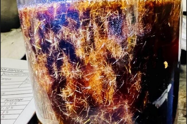
Training Staff for Handling Hazardous Waste and Responding to Chemical Spills
CSS employee owners provide on-site support to the Centers for Disease Control and Prevention (CDC) Hazardous Waste Program at several campuses around the country: Atlanta, Georgia, San Juan, Puerto Rico, and Fort Collins, Colorado. With 22 years of experience, CSS staff are responsible for providing training to laboratory and facilities staff to ensure safe handling of hazardous waste to avoid harmful…
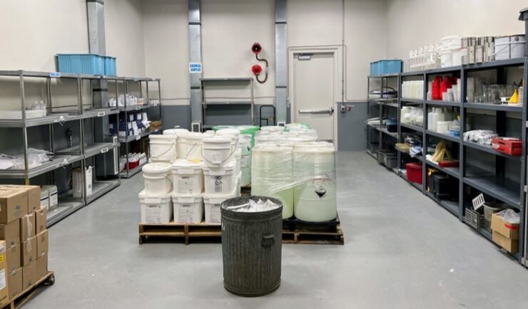
Extensive Support in Hazard Waste Management
For 22 years, CSS has provided support to the Centers for Disease Control and Prevention (CDC) Hazardous Waste Program ensuring safe handling, storage, packing, and shipping of hazardous waste materials within facilities and laboratories. Experienced CSS employees are located on site at CDC campuses in Atlanta, Georgia, San Juan, Puerto Rico, and Fort Collins, Colorado and are responsible for collecting waste on a weekly schedule and disposing of waste at various campuses on an annual…
New Video: How NOAA and Engineers Are Future-Proofing America’s Infrastructure
CSS team members supporting NOAA’s National Centers for Environmental Information (NCEI) industry initiative are working with the architecture and engineering, insurance and reinsurance, and retail sectors to co-develop environmental data tools that are accessible and actionable, helping industries and communities build weather resilience. A new video showcases how NOAA data products, and this initiative, are equipping professionals to design…