
- Success Stories
- Environmental Resource Assessment & Management
Developing a Database for Ecosystem Service Models
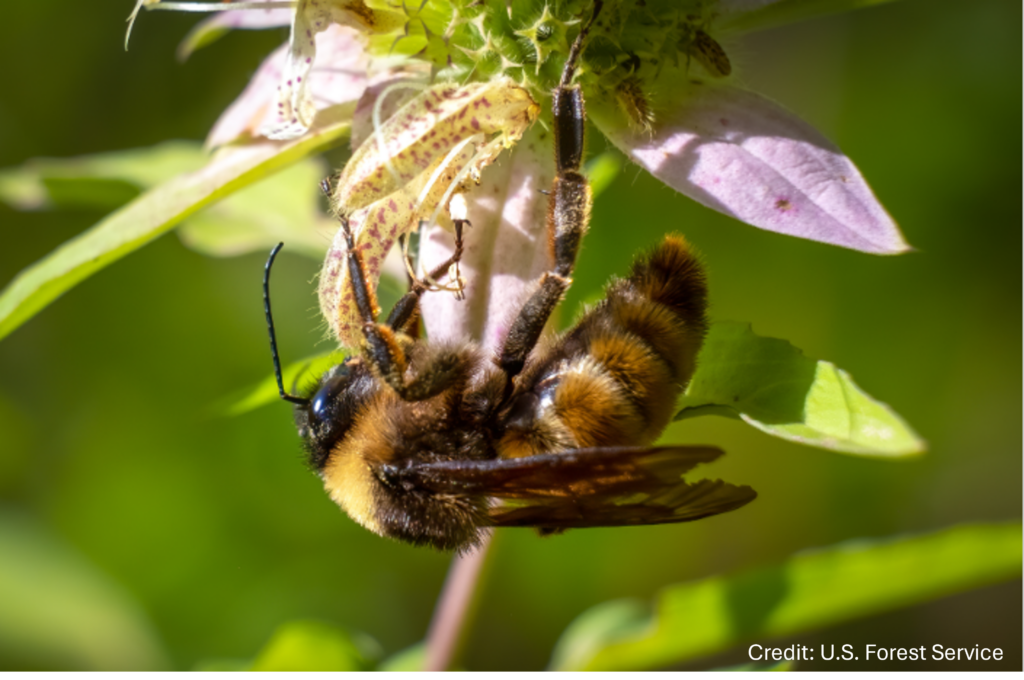
CSS scientists have been major developers and contributors to the online U.S. Environmental Protection Agency’s EcoService Models Library (ESML) database since its inception in 2012. The ESML database contains detailed but concise descriptions of ecosystem service models to facilitate the selection of models by ecosystem scientists for a variety of management and research applications. The database contains over 290 ecosystem service models, with additional entries for specific model runs. CSS employee owners helped design the database and the framework for summarizing models. In addition, CSS has selected models from the database for generating scenarios of remediation options for specific Superfund sites to identify the ecosystem services they could provide. Models that have been applied include pollinator (e.g., bumblebee), carbon sequestration, and bird ecosystem services. The database can be accessed at www.epa.gov/eco-research/ecoservice-models-library/.
See More CSS Insights
Supporting Safety In Higher Education Laboratories
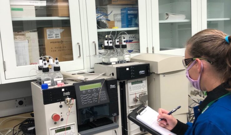
In the past two years we’ve expanded our safety portfolio to supporting colleges and universities, ensuring their laboratories meet industrial hygiene and safety standards. Our staff member leading the effort is a Certified Industrial Hygienist (CIH) and Certified Safety Professional (CSP), and member of the Remote Industrial Hygiene and Safety Support Team. Our short-term projects…
Engaging in New and Emergent Satellite Technologies
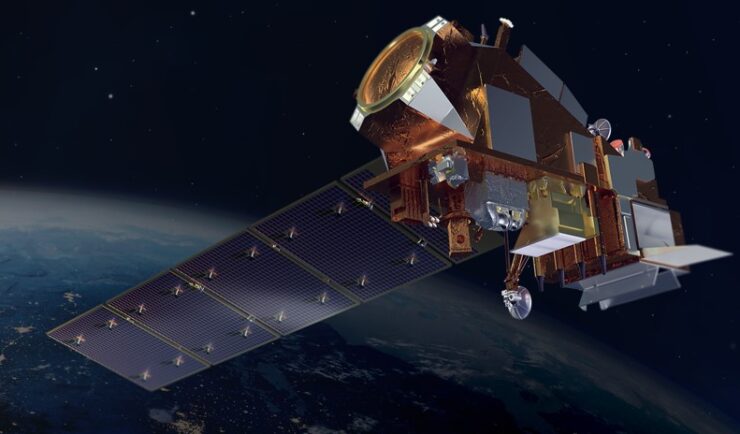
CSS employee owners (formerly Riverside employees) support the National Oceanic and Atmospheric Administration’s (NOAA) National Environmental Satellite, Data, and Information Service’s (NESDIS) Center for Satellite Applications and Research (STAR). STAR is the science arm of NESDIS, which acquires and manages the nation’s environmental satellites for NOAA. Satellite observations are critical to informing situational awareness and…
Monitoring Algal Blooms for Harmful Toxins
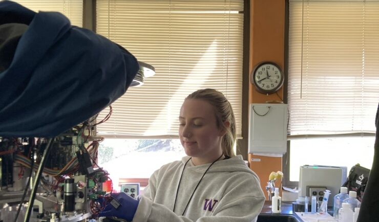
CSS employee owners support NOAA’s National Centers for Coastal Ocean Science (NCCOS) Harmful Algal Blooms (HAB) Sensor Development Team in their efforts to detect and monitor these harmful algal blooms in coastal waters where they are likely to occur. HAB monitoring is critical for detecting harmful toxins produced by some algae. When present in over…