- Success Stories
- Environmental Resource Assessment & Management
New Heavily Desired High Resolution Land Cover Data for the U.S.
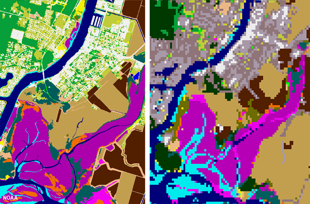
The National Oceanic and Atmospheric Administration recently announced the launch of the long desired high-resolution coastal land cover data. This highly anticipated data are available for most coastal areas of the U.S., including Alaska and the U.S. territories.
CSS employee owners contributed to the release of this data set by participating in production activities and providing quality assurance/quality control checks. In addition, the team has been presenting workflow processes and outputs, on-the-ground applications, and associated benefits of the data at conferences and to partners.
As part of this effort, CSS staff developed ESRI ArcGIS image services and a story map to facilitate distribution and understanding of the data. Following the NOAA press release, the land cover project team manager received an influx of questions expressing confusion regarding the data. CSS staff were tasked with rapidly developing this story map to better explain the points of confusion and direct users to the data download site. Staff completed this task within three business days of being assigned.
Previously, coastal land cover data was widely available at a 30-meter resolution. This new data is a 1-meter resolution product, which communities can use to improve sea level rise projections, protect communities from flooding, inform wetland restoration projects, and more. This is an especially important data set for Alaska, which has previously not had widespread land cover data available. Due to the costly nature of this high-resolution data, it was previously unobtainable for communities that couldn’t provide funding. Thanks to funding from the Bipartisan Infrastructure Law, NOAA was able to provide this data at a much larger scale.
Download the new high-resolution coastal land cover data through NOAA’s Digital Coast website,

See More CSS Insights
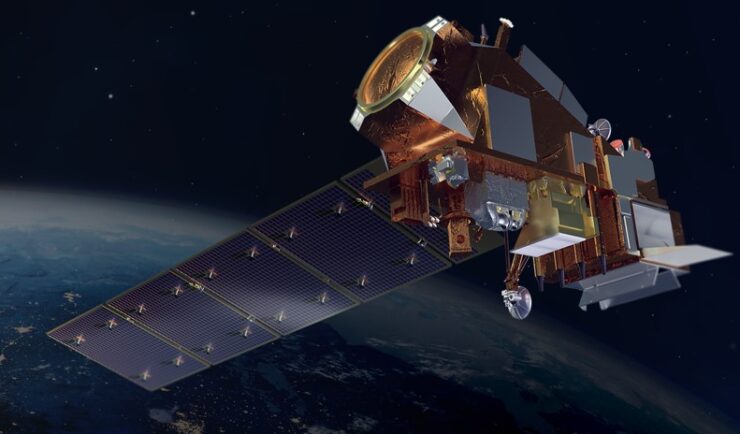
Engaging in New and Emergent Satellite Technologies
CSS employee owners (formerly Riverside employees) support the National Oceanic and Atmospheric Administration’s (NOAA) National Environmental Satellite, Data, and Information Service’s (NESDIS) Center for Satellite Applications and Research (STAR). STAR is the science arm of NESDIS, which acquires and manages the nation’s environmental satellites for NOAA. Satellite observations are critical to informing situational awareness and…
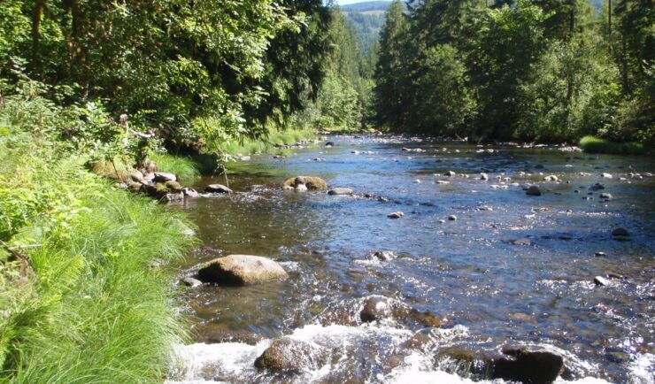
Developing a Stream Assessment Protocol
CSS has been a significant contributor to the development and implementation of the Oregon Stream Function Assessment Method (SFAM) for more than 10 years. SFAM is a key component of the Oregon Stream Mitigation Program administered by the Oregon Department of State Lands. The mitigation program is designed to address damage to aquatic resources caused…
Over 2000 River and Stream Samples Analyzed
Every five years teams supporting U.S. Environmental Protection Agency’s National Aquatic Resource Survey—consisting of tribal, state, and federal partners—collect samples from over 2000 river and stream reaches throughout the United States. CSS analytical chemists support this effort by processing the samples and then analyzing them for various chemicals to help characterize their water quality. The…