
Congratulations to Steven Brecher, our program manager on our National Institute of Environmental Health Sciences (NIEHS) contract. Steven recently served on a validation team, which was responsible for operational testing following a major software installation. The installment is a fully integrated Windows-based database for non-clinical evaluation studies. The validation team’s operational testing helped ensure the database functioned properly prior to client use. The team was nominated for a NIEHS merit award for their effort!
See More CSS Insights
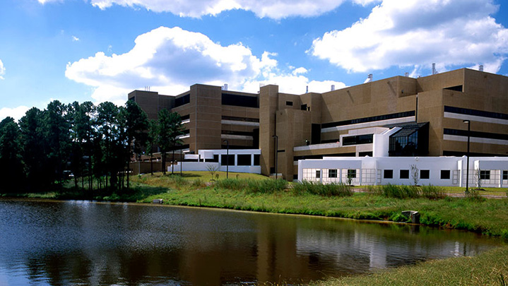
Quality Assurance Audit Reports
Since 1985 we’ve supported the National Institute of Environmental Health Sciences and have provided more than 1,600 quality assurance audit reports that the client has used to assess the quality of toxicology studies they sponsor. Over the last year our employee owners reviewed several studies involving per- and polyfluorinated substances (PFAS) compounds, or “forever chemicals”,…
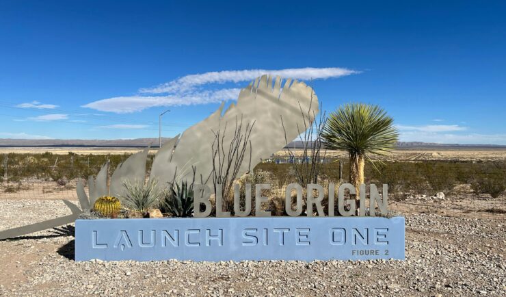
Ensuring Smooth Operations at Blue Origin Facilities
At CSS, we’re proudly to plays a vital role in supporting Blue Origin’s groundbreaking endeavors in Texas and Washington. Our dedicated team is at the forefront of facilities and hospitality services, ensuring that every operation runs seamlessly. CSS employee owners are integral to the success of Blue Origin’s Texas launch and testing activities. With highly…
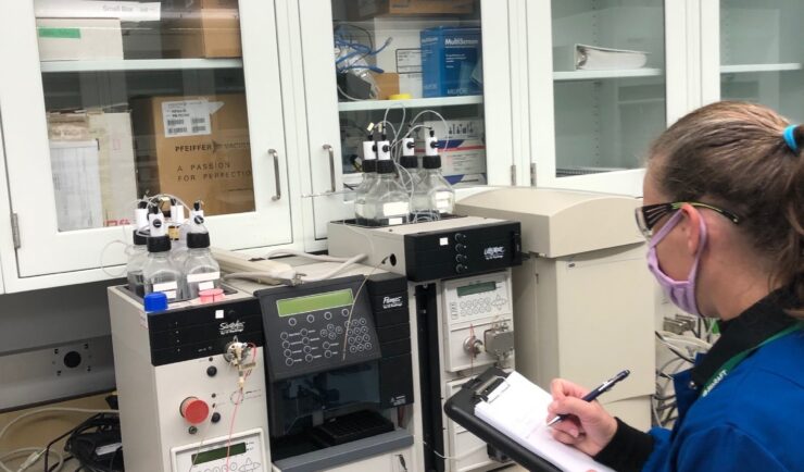
Supporting Safety In Higher Education Laboratories
In the past two years we’ve expanded our safety portfolio to supporting colleges and universities, ensuring their laboratories meet industrial hygiene and safety standards. Our staff member leading the effort is a Certified Industrial Hygienist (CIH) and Certified Safety Professional (CSP), and member of the Remote Industrial Hygiene and Safety Support Team. Our short-term projects…