- Community Spotlight, Success Stories, Uncategorized
- Satellite Science & Environmental Intelligence
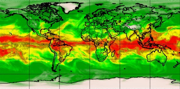
Evaluating the Use of Earth Observations Digital Twin Technologies
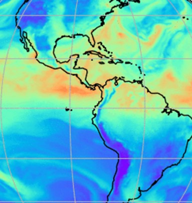
Earth Observations Digital Twin technologies are data analytics, artificial intelligence, and advanced modeling technologies that provide an estimate of the true state of the Earth. An Earth Systems Digital Twin is observations-based and grid-flexible with multiple components and high-resolution data over space and time to capture all available observations and feed a variety of direct observations to users. Adding or removing data is flexible, cost-efficient, and agile with fast processing. NOAA’s National Environmental Satellite, Data, and Information Service (NESDIS) is exploring the use of this technology.
Through their joint venture program, they contracted three companies to each developed a prototype to explore this technology. CSS employee owners (formerly Riverside staff) were responsible for evaluating these prototypes. Our staff evaluated the code for each Earth Observations Digital Twin prototype and explored using them for enhancing the ability to process, monitor, quality-control, consolidate, fuse, and assimilate environment observations and streamline the satellite data ground processing. Our staff provided feedback and recommendations to NESDIS regarding the validity and integrity of using an Earth Observations Digital Twin, and whether or not they could be used for potential future applications.

Learn more about how NESDIS is exploring the use of Earth Observations Digital Twin.
See More CSS Insights
New Data and Reports on the U.S. Marine Economy
Each year CSS economists on contract with NOAA’s Office for Coastal Management work with other federal agencies to process the most recent economic and labor data, and extract the portions related to marine-dependent sectors.

Responding to HazMat Spills
CSS supports several Centers for Disease Control and Prevention (CDC) campuses throughout the U.S. On-site CSS personnel are trained in hazardous material spill response and clean-up and provide this support within buildings and throughout campuses. As part of our contract with the CDC Hazardous Waste Program, CSS hazmat-trained employee owners are responsible for safely collecting,…
Advancing Severe Weather Predictions with Artificial Intelligence
As artificial intelligence (AI) and machine learning (ML) technologies evolve in Earth sciences, CSS employee owners (formerly Riverside staff) are growing our expertise in this field. CSS employee owners are advancing technologies for our client, NOAA’s Center for Satellite Applications and Research (STAR). Our staff have developed a framework, exploiting modern AI/ML techniques, to rapidly…