CSS is pleased to announce that NOAA has awarded our new Joint Venture (JV) with Research Planning, Inc. (RPI) a prime contract for two Professional, Science, and Technical Services (ProTech) program domains: ProTech Oceans 2.0, and ProTech Fisheries 2.0. This new RPI-CSS JV results from a Small Business Administration-approved Mentor-Protégé Agreement between CSS and RPI and opens the door for leveraging new partnerships and expanding contract opportunities.
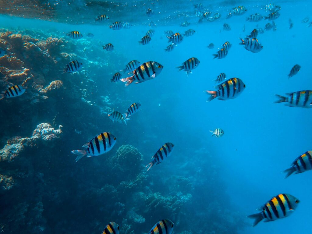
NOAA ProTech Oceans 2.0 Domain – Work under this contract will support NOAA’s National Ocean Service in providing the data, tools, and services that support coastal economies and promote the development and management of the oceans and their resources. Our services for this domain are organized under five major program areas:
- Studies, Analyses, and Reports
- Applied Research, Development, Engineering, Consulting and Operations
- Field Sampling, Data Collecting, and Surveys
- Consulting, Program and Project Management
- Capacity Building
NOAA ProTech Fisheries Domain – Work under this contract will support NOAA’s National Marine Fisheries Service protected resources and habitat conservation efforts, and assist the NOAA Fisheries in promoting the conservation, management, and sustainable use of living marine resources. Our comprehensive services for this domain are organized under the following major program areas:
- Studies, Data Analyses, and Reports Applied Research, Engineering, Consulting, and Operations
- Field Sampling, Data Collection, and Surveys
- Training and Program and Project Management
- Fisheries Management and Consultation Activities
- Economic and Social Science
Visit our Contract Vehicle page for more information on CSS GSA schedules.
See More CSS Insights

Engaging in New and Emergent Satellite Technologies
CSS employee owners (formerly Riverside employees) support the National Oceanic and Atmospheric Administration’s (NOAA) National Environmental Satellite, Data, and Information Service’s (NESDIS) Center for Satellite Applications and Research (STAR). STAR is the science arm of NESDIS, which acquires and manages the nation’s environmental satellites for NOAA. Satellite observations are critical to informing situational awareness and…
Safety Support To First Responders
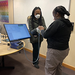
First responders put their lives on the line to help others, and our team helps safeguard their protection. Our team on contract with the National Institutes of Health (NIH) Respiratory Protection Program works with staff to test respirators and establish secure fits. Similarly, they provide these fit tests for fire department personnel on a regular…
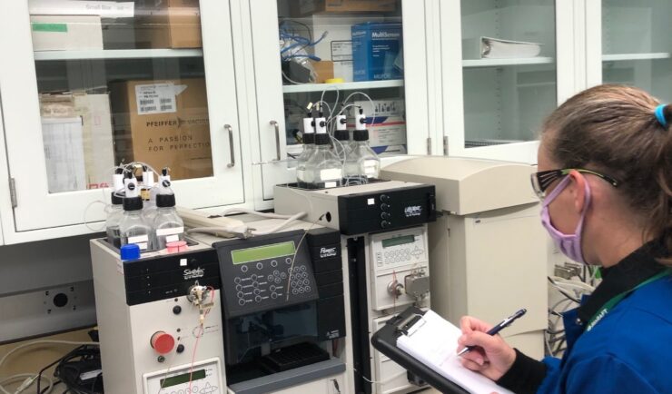
Supporting Safety In Higher Education Laboratories
In the past two years we’ve expanded our safety portfolio to supporting colleges and universities, ensuring their laboratories meet industrial hygiene and safety standards. Our staff member leading the effort is a Certified Industrial Hygienist (CIH) and Certified Safety Professional (CSP), and member of the Remote Industrial Hygiene and Safety Support Team. Our short-term projects…