
- Success Stories, Uncategorized
- Environmental Resource Assessment & Management
Assessing Contamination in Abandoned Mines
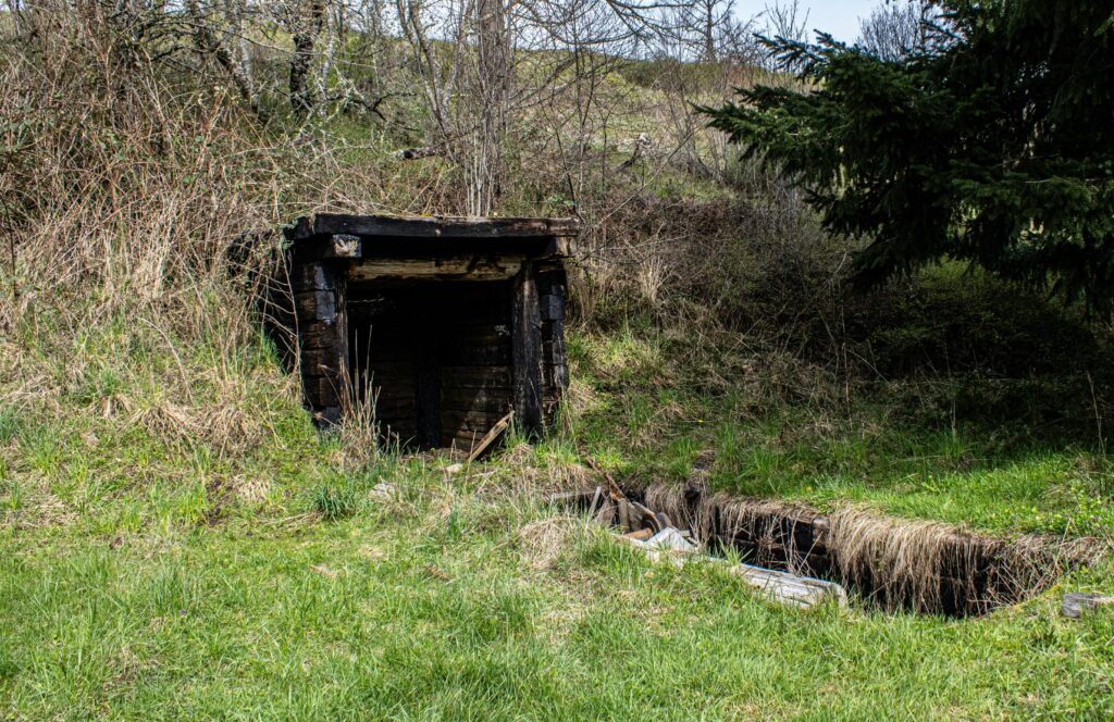

CSS supports the Environmental Protection Agency with assessing contamination within abandoned mines. There are thousands of abandoned mines throughout the western United States. Many of these mines are leaching heavy metals into nearby streams or have contaminated soils causing vegetation die off.
CSS employee owners conduct field work to assess the extent of this contamination. During field excursions, staff collect soil and water samples and characterize the extent of contamination. The team analyzes sample on site and in the laboratory for heavy metals. This information informs remediation plans for contaminated sites.
Feature image credit: Peter Robbins, Unsplash
See More CSS Insights
New Release: Aquaculture Atlas for the Gulf of Alaska
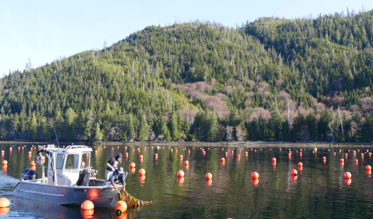
The National Oceanic and Atmospheric Administration (NOAA) has published An Aquaculture Opportunity Area Atlas for the Gulf of Alaska, which identifies 77 potential options in 10 study areas for establishing commercial seaweed and shellfish mariculture in Alaska state waters. For nearly three years, CSS employee owners have been working with partners through our contract with NOAA’s National Centers for Coastal Ocean Science (NCCOS) to support this extensive, cross-agency effort. Since 2023, CSS has supported NCCOS with this collaborative effort,…

Supporting National Ocean Service Financial Management Centers
CSS employee-owners bring exceptional dedication and expertise to the National Ocean Service (NOS) Agreements, Grants, and Acquisitions Division, supporting several Financial Management Centers (FMCs) through complex, high‑priority initiatives. CSS has played a key role in helping FMCs navigate the U.S. Department of Treasury’s G‑Invoicing system during a period of transition and heavy workload. CSS staff recognized the challenges many teams were facing and broke down the system’s complex requirements…
Rapid Reporting of a Close Call Incident
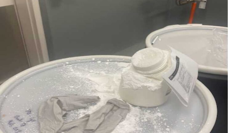
CSS Safety Protocols During a routine collection of waste, a container of white powder disintegrated without warning, causing the powder to spill and be expelled into the air. Thanks to CSS’s safety protocols and quick response, our Center for Disease Control waste disposal staff was able to assess the situation and respond to the chemical…