

CSS employee owners were part of a team of scientists at the National Institutes of Health who developed an approach to evaluating new laboratory space to determine if the space will fit operational needs. This concept, titled The BaseLINE Approach, combines traditional safety processes with additional safety and environmental factors to assess before operations begin. The term “BaseLINE” is a compound acronym of terms that combine these traditional concepts with safety and environmental terms. “Base” refers to the safety aspects of the process (building assessment of safety elements) while “line” covers environmental issues (lighting, indoor air quality, noise, and ergonomics). This assessment helps ensure additional safety measures for laboratory occupants.
Visit this article to view the full approach.
Congratulations to the team on this accomplishment!
*Feature photo credit: Hans Reniers, Unsplash

See More CSS Insights

More Than 1,600 Great Lakes Water Samples Analyzed
More than 30 million people rely on the Great Lakes for drinking water, and they support a fisheries industry valued at $5.1 billion annually. Monitoring the Lakes’ water chemistry is a vital part of maintaining the quality of this key natural resource. The U.S. Environmental Protection Agency (EPA) is responsible for collecting and testing water samples in…
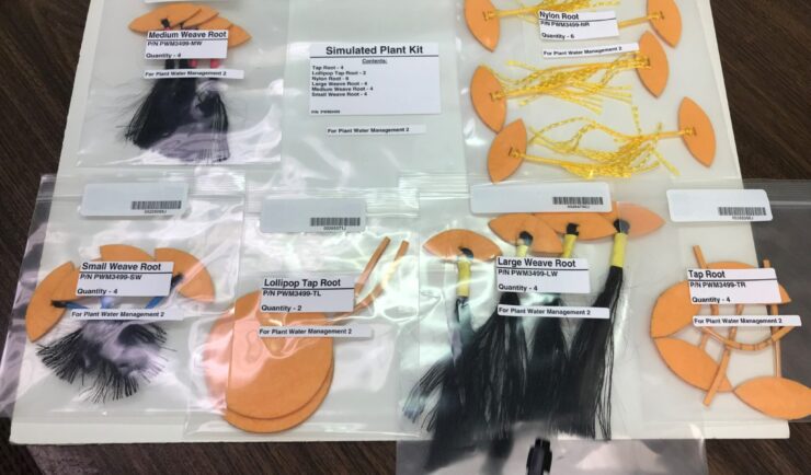
Astronauts Conduct Latest Plant Water Management on the International Space Station
NASA recently performed the sixth iteration of the CSS-supported Plant Water Management experiment on the International Space Station (ISS).

New Contract. Same Great Work.
We’re pleased to announce a new small business joint venture with Paul Bechtel & Associates (PB&A), which was awarded a 5-year contract to continue supporting the U.S. Environmental Protection Agency’s (EPA) Office of Pesticide Programs. For 40 years our staff have supported EPA’s Office of Pesticide Programs in the review and evaluation of pesticide data.…